Winter Hikes Near Old Fort, North Carolina
The Season the Trails Belong to You

The best hiking near Old Fort happens in the season nobody books. Winter days here average near 50 degrees, the valley trails stay open and dry more often than people expect, and the long views through bare trees are the clearest of the year. The trails that hold a line of people in October hold nobody in January.
Why hike here in winter?
Because the thing that makes October hard is the thing winter removes.
In peak fall, the parking lot at a popular trailhead near Asheville fills by nine in the morning, and the trail itself becomes a queue. It is still beautiful. It is not solitude, and solitude is usually what people came for.
In January the same trailhead has three cars in it.
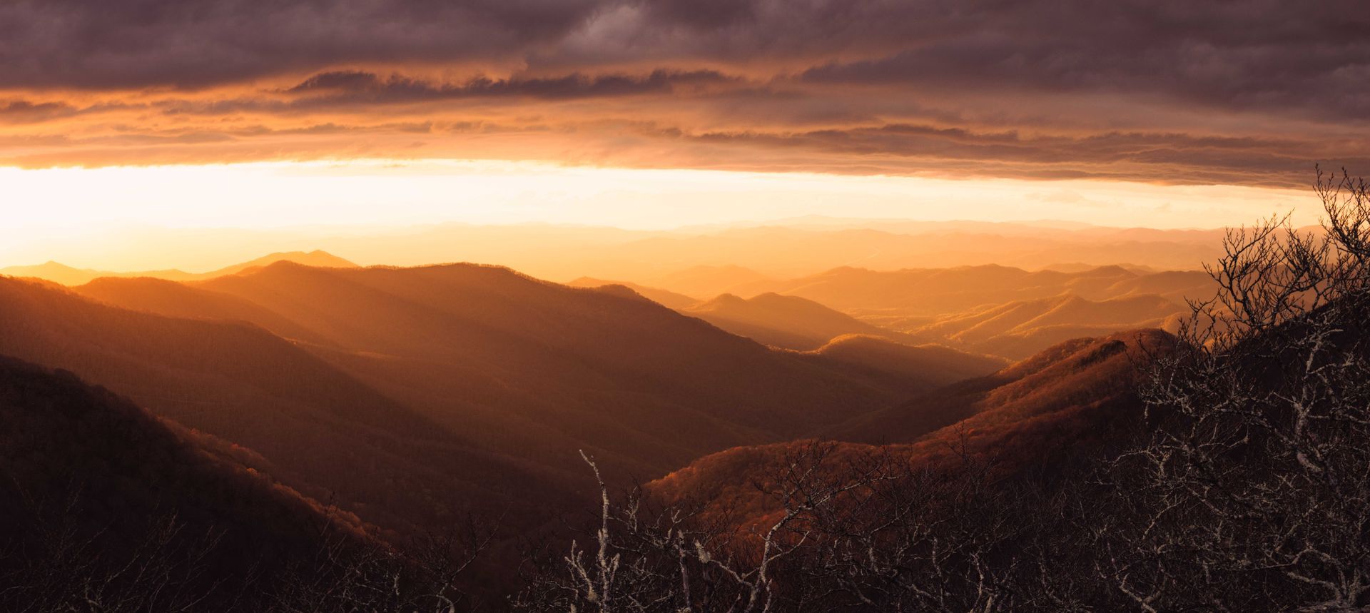
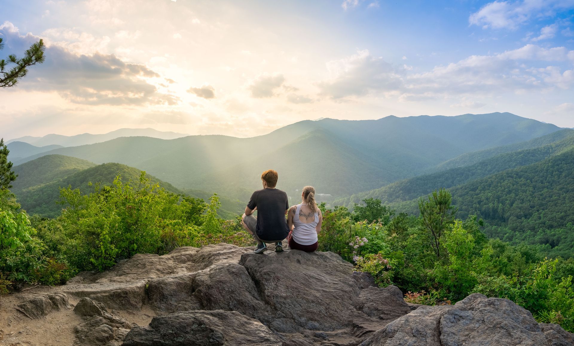
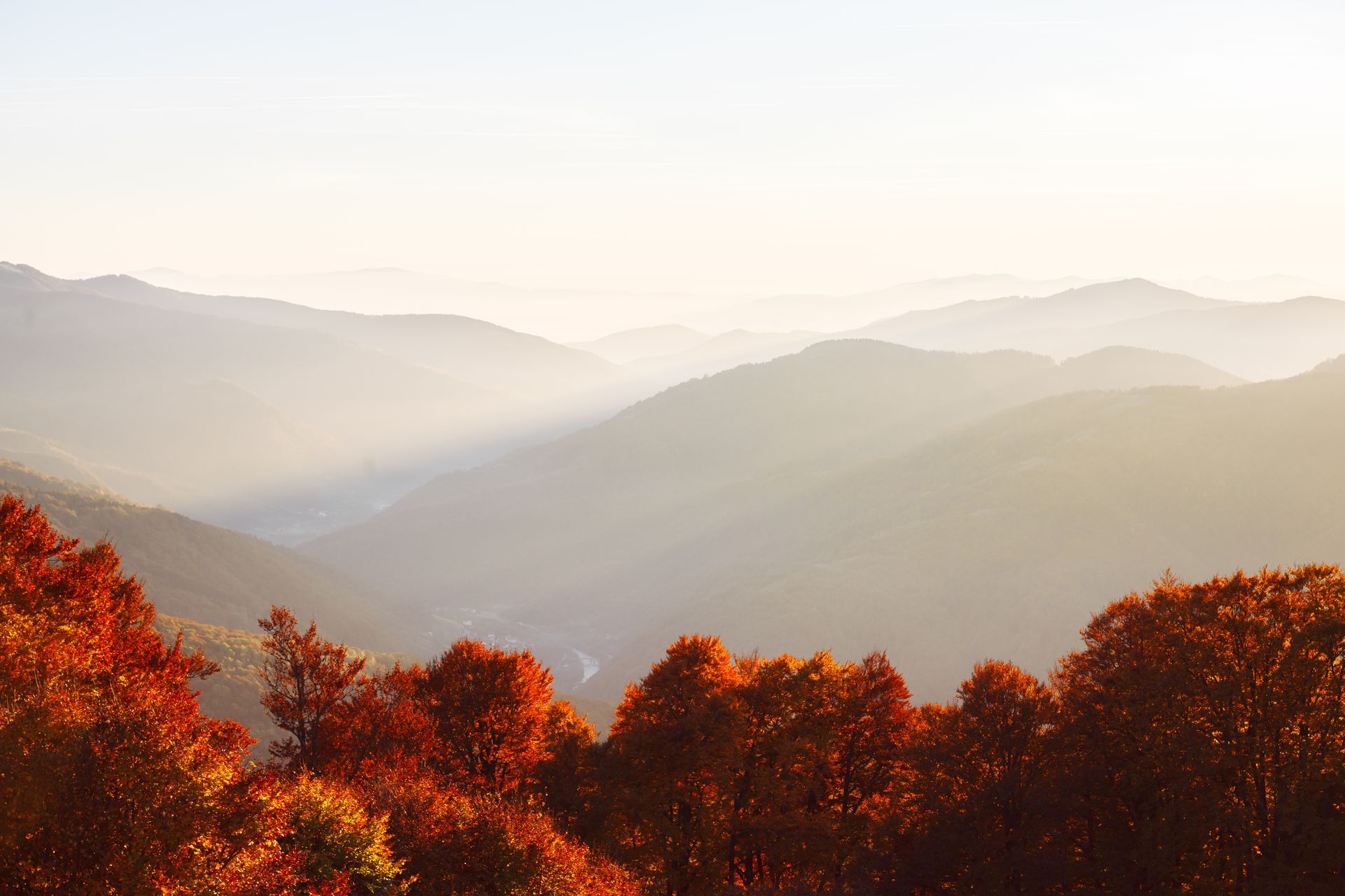
Winter also changes what you can see. A ridgeline in July is a green tunnel. The same ridgeline in January opens up in every direction, because the canopy that blocked the view is on the ground. Long distance visibility in these mountains is at its annual peak in winter, and the water is louder, because the creeks run high and there are no leaves to muffle them.
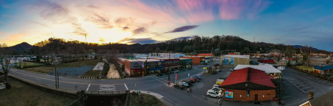
The valley makes it workable. Old Fort sits at roughly 1,400 feet, low for these mountains, and that elevation is the difference between a season of hiking and a season of waiting.
What is winter actually like here?
Month Average high Average low
December 51 32
January 48 29
February 52 32
March 59 38
Those are regional thirty year normals, and they describe a season most people would call good hiking weather anywhere else in the country.
The catch is elevation, and it is a real one. The valley can be dry and near 50 while the high country holds snow and ice. Mount Mitchell at 6,684 feet is a different climate entirely, and sections of the Blue Ridge Parkway close for ice on short notice.
The rule for winter here: hike low, look up.
Which trails are best near Old Fort in winter?
Trail Roughly Why it works in winter Status to check
Point Lookout 3.6 miles, paved, Paved means no mud and no ice Generally reliable
Greenway gentle grade patches hiding under leaves.
The long gorge view opens up
completely without the canopy.
Catawba Falls About 3.5 miles Waterfalls are at their best in Upper viewing platform and
round trip on the winter. High flow, sometimes Wildflower Trail closed for repair.
main loop ice formations on the rock. Check before you go
Much less traffic.
Old Fort Gateway 14 miles of Low elevation, well built, Check current status with G5
Trails stacked loops drains reasonably.
Easy to shorten if the
weather turns.
Newberry Beginner friendly The gentlest real trail Check with the Forest Service
Creek Trail in the area, good for
a short day or a mixed
group.
Curtis Creek area, Varies Creek walking, forest road, Forest road conditions vary in winter
Pisgah National and the option to turn
Forest around whenever you like
Young’s Ridge Steep, strenuous The ridgeline view is the Conditions change. Ask locally
and Kitsuma reason, and winter is when
you can actually see it.
Trail Roughly Why it works in winter Status to check
Lake James Several easy Flat, open water views, Check park hours, which
State Park well maintained, and about shorten in winter
25 minutes away
Andrews Geyser is not a hike, but it is a fine cold weather stop. A fountain at 2111 Mill Creek Road that throws water more than eighty feet up, free and open to the public, and strange enough to be worth the five miles from downtown.
Which winter hikes should you skip?
Being honest about this is the difference between a useful guide and a liability.
High elevation ridgelines in ice. Mount Mitchell and the high Parkway trails are genuinely serious in winter conditions. Ice on an exposed ridge is not a difficulty problem, it is a fall problem.
Anything requiring a Parkway section that is closed. Several sections remain closed for repair, and others close for ice without much notice. Check the current Park Service listing the morning you go, not the week before.
Waterfall rock. Wet rock near a waterfall is dangerous in every season and worse when it is near freezing. Stay on built stairs and marked trail. This is the most common way people get hurt in these mountains.
Long days close to sunset. Daylight is short. A four hour hike started at one in the afternoon in January finishes in the dark.
What do you need for winter hiking here?
Item Why it matters here
Layers, one heavier than fall Base, mid, shell. You will be warm climbing and cold at the overlook
Traction devices Microspikes weigh almost nothing and turn an icy north facing section from dangerous into routine
Real boots with tread Frozen mud in the morning is wet mud by afternoon
Headlamp Not optional in a season with short daylight. Bring it even on a short hike
More water than feels necessary Cold weather suppresses thirst and you dehydrate anyway
Warm hat and gloves The cheapest comfort you can buy
Downloaded map There is little to no cell service through much of this area
Something hot in a thermos Changes a cold overlook into a place you want to sit
North facing slopes hold ice long after the sunny side has dried. The same trail can be bare dirt going up and glazed coming down. That is the single most useful thing to know about winter hiking in these mountains.
How do you plan a winter hiking day?
- Check status the morning of. Forest Service, State Parks, and the Parkway listing. Conditions across this district continue to change as recovery work proceeds, and a status from last month is not a status.
- Start early anyway. Not for parking, which is not a problem in January, but for daylight.
- Hike low. Point Lookout, the Gateway Trails, Catawba Falls, Lake James. Save the high country for a clear, warm, dry stretch.
- Have an indoor second half. Old Fort has a brewery, a coffee bar and a free museum within a few blocks, all covered in the Old Fort guide.
- Finish warm. A sauna at the end of a cold hike is a meaningfully different day than a cold hike alone.
Frequently asked questions
Can you hike near Asheville in the winter?
Yes, and the lower elevation trails are open and comfortable most of the season. Regional winter highs average near 50 degrees. The high country is a separate question and can hold snow and ice for weeks.
Is Catawba Falls open in the winter?
The main trail is open. The upper viewing platform and the Wildflower Trail have been closed for repair. Waterfalls are spectacular in winter, and the rock around them is at its most dangerous. Stay on the built stairs. Check current status.
Do you need microspikes to hike in the North Carolina mountains in winter?
Not usually in the valley, and often yes at elevation or on north facing slopes after a cold snap. They weigh very little. Bring them and be glad you did not need them.
What is the warmest place to hike near Asheville in winter?
Lower elevations. The Catawba River valley around Old Fort and Marion sits near 1,400 feet, which runs consistently milder than Asheville and considerably milder than the high country.
Are the trails crowded in winter?
No. This is the entire argument for the season. Trails that hold a steady line of people in October are empty in January.
Does it snow on the trails near Old Fort?
Snow at valley elevation is occasional and usually short lived. Snow at elevation is common and persistent. The two are genuinely different places.
Is winter hiking safe?
With the right layers, traction, daylight planning and an honest read on conditions, yes. Ice on exposed ridgelines and wet rock near waterfalls are the two real hazards. Both are avoidable by choosing lower trails.
Where to stay for a winter hiking trip
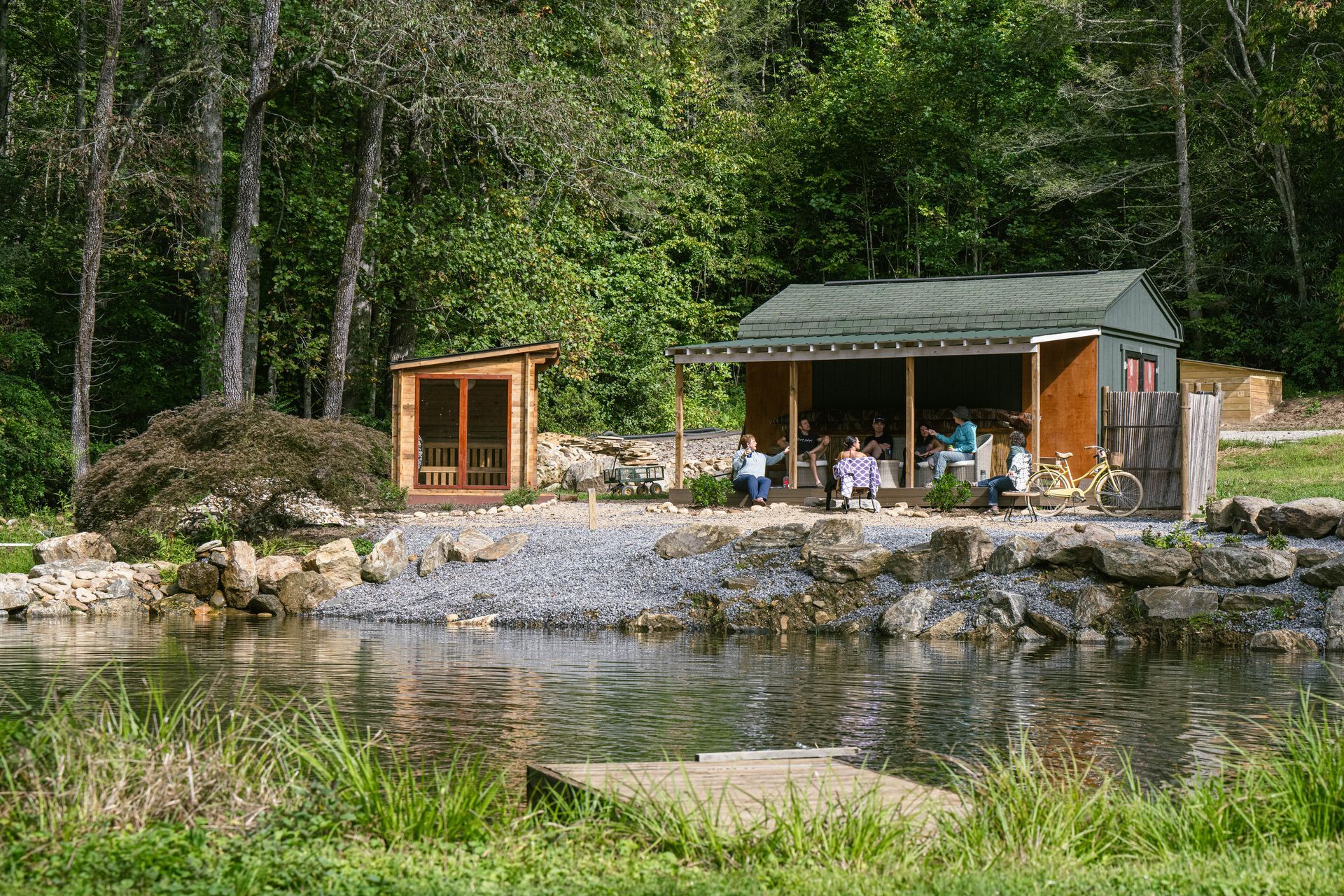
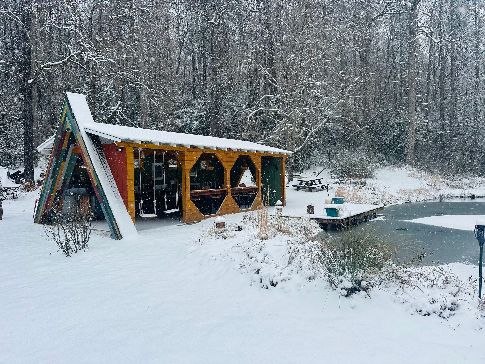
Wunderland Resort sits on 35 acres at 448 Curtis Creek Road in Old Fort, with direct access into Pisgah National Forest and several of the trails above within fifteen minutes. On property there is a sauna, a natural water cold plunge, fire pits and a grounding trail, which is a better end to a cold hike than most trips manage.
The valley has spotty cell service, so download your maps before you arrive. The cozy season guide covers what winter here is actually like.
Check winter availability · See accommodations · See amenities
Keep reading
- Cozy Season at Wunderland
- Things to Do in Old Fort
- The Blue Ridge Parkway from Old Fort
- Mountain Biking in Old Fort
Sources
- Catawba Falls Recreation Area, USDA Forest Service
- Point Lookout Greenway
- G5 Trail Collective, Gateway Trails
- Lake James State Park, North Carolina State Parks
- Mount Mitchell State Park, North Carolina State Parks
- Blue Ridge Parkway road status, National Park Service
- Asheville average temperatures by month, Current Results