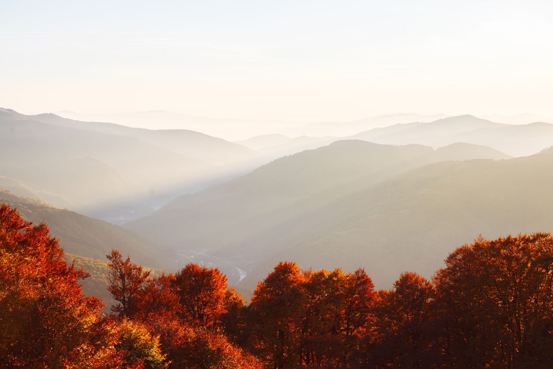
The Blue Ridge Parkway from Old Fort
What Is Open, How to Get There, and What Is Worth the Drive
From Old Fort, the reliable way onto the Blue Ridge Parkway right now is west on Interstate 40 toward Asheville, then north onto the Parkway. That approach reaches Mount Mitchell and Craggy Gardens, both open. Several sections north and east of Mount Mitchell remain closed for repair, with reopening work expected to finish in late 2026.
Is the Blue Ridge Parkway open right now?
Partly. This is the question that decides your day, and the answer changes as crews finish sections, so treat everything below as a snapshot and verify before you drive.
The National Park Service maintains the live listing at nps.gov road status and closures. That page is the only authority. A closure map from a travel blog, this one included, is a starting point and not a plan.
As of the Park Service listing dated August 16, 2026:
Currently closed
- Milepost 317.5 to 324.7, US 221 to Jacksontown Access Road
- Milepost 324.7 to 327.5, part of the Jacksontown to Gillespie Gap stretch
- Milepost 333.9 to 342.1, Little Switzerland to Victor Crossing
- Milepost 342.1 to 344.2, Victor Crossing to NC 80
- Milepost 344.2 to 355.3, NC 80 to Mount Mitchell
- Milepost 316.5, Linville Falls Campground and Picnic Area
Currently open
- Milepost 327.5 to 330.9
- Milepost 330.9 to 333.9, Gillespie Gap to Little Switzerland
- Milepost 355.3, Mount Mitchell
- Milepost 355.3 to 364.5, Mount Mitchell to south of Craggy Gardens
- Milepost 364.5 to 367.6, the Craggy Gardens area, though the picnic area is closed
The Park Service has said that work to reopen the stretch between Mount Mitchell and Little Switzerland is expected to be complete by late 2026.
How do you get onto the Parkway from Old Fort?
Here is the part that trips people up. Old Fort sits directly beneath the Parkway. On a map it looks close, and in a straight line it is. But the closure between NC 80 and Mount Mitchell means the short way up is not currently a way up.
The route that works
West on Interstate 40 toward Asheville, then north onto the Parkway. From there you have open road out to Mount Mitchell at milepost 355 and Craggy Gardens at 364. It is a longer loop on the map and it is the one that gets you there.
Two Parkway landmarks anchor that end of the drive and both make good first stops:
The routes that do not currently work
Coming up from the Marion and Little Switzerland side toward Mount Mitchell runs into the closed section between milepost 344 and 355. Do not plan around it, and do not trust a navigation app that routes you through it. Navigation apps have been slow to reflect Parkway closures throughout the recovery.
Fill your tank before you go. There are no gas stations on the Parkway itself. Fill up in Old Fort or in Asheville.
What is worth driving to right now?
Mount Mitchell State Park, milepost 355.3
At 6,684 feet this is the highest point east of the Mississippi River, reached by turning off the Parkway onto NC 128. Open. The summit, the observation deck, and a view that on a clear day runs a hundred miles. Mount Mitchell State Park
Craggy Gardens and Craggy Pinnacle, mileposts 364.5 to 367.6
Roughly 5,500 to 5,900 feet. Open, though the picnic area is closed. Open balds and exposed ridgeline, and the most photographed stretch of Parkway near Asheville.
Folk Art Center, milepost 382
Roughly 2,300 feet. Open. Craft galleries, restrooms and information, and the natural first stop coming from the Asheville side.
Blue Ridge Parkway Visitor Center, milepost 384
Roughly 2,200 feet. Open. Maps, rangers and current conditions from people who know today’s answer rather than last month’s.
Gillespie Gap to Little Switzerland, mileposts 330.9 to 333.9
Roughly 3,500 feet. Open, but as an isolated segment between two closures, which means almost no through traffic on it.
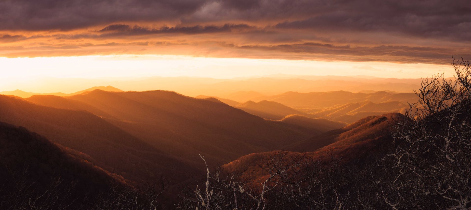
The Mount Mitchell and Craggy stretch is the reason to make this drive. Two of the three best high elevation destinations in the state sit on open road, and the traffic that used to arrive from the north is not arriving. On a Tuesday in October that is a very different Craggy Gardens than the one people remember.
What should you know before your first Parkway drive?
It is slower than it looks. The speed limit is low by design and the road is a continuous curve. Budget roughly twice the time your navigation app suggests, then add stops.
There is no fuel, and limited food. Plan both before you get on.
Cell service is patchy to nonexistent along much of the North Carolina Parkway. Download maps before you leave, or carry paper.
Weather at 6,000 feet is not the weather in the valley. The summit of Mount Mitchell routinely runs twenty degrees or more colder than Old Fort, with wind. Bring a layer you think you will not need.
Gates close for ice. In winter and in shoulder season, sections close on short notice for ice and snow, sometimes overnight. Check status the morning of, not the week before.
The Parkway runs from milepost 0 in Virginia to milepost 469 at Cherokee, connecting Shenandoah National Park to Great Smoky Mountains National Park. Mileposts count up from north to south, which is worth ten seconds of thought before you turn.
What if the section you wanted is closed?
Four alternatives from the Old Fort valley that do not depend on Parkway access at all.
- Instead of a high elevation overlook, drive ten minutes to Point Lookout Greenway, 3.6 miles paved with long views down the gorge.
- Instead of a Parkway waterfall stop, drive ten minutes to Catawba Falls, rebuilt with a staircase and an observation tower.
- Instead of a scenic mountain drive, take Curtis Creek Road up into Pisgah National Forest. It starts in the valley.
- Instead of a lake and mountain view, drive twenty five minutes to Lake James State Park.
At Catawba Falls, the upper viewing platform and the Wildflower Trail have been closed for repair. Check the Forest Service page before you drive out.
When is the best time to drive the Parkway from Old Fort?
Spring, April to May
Green moving up the mountain week by week, waterfalls at full volume, and fewer cars than you will see in any other green season.
Summer, June to August
Cool at elevation when the valleys are hot. Afternoon storms build fast against the escarpment, so mornings are better.
Fall, late September to early November
The reason most people come, and the busiest weeks of the year. The elevation math matters more than the calendar here, because the high country peaks weeks before the valley does. Our fall color timing guide breaks it down by elevation band and week.
Winter, December to March
The clearest long views of the year, on the days the gates are open. Check status the morning of.
Frequently asked questions
Is the Blue Ridge Parkway open near Asheville?
The section from Mount Mitchell south past Craggy Gardens and on toward Asheville is open. Several sections north and east of Mount Mitchell remain closed for repair. Check the current Park Service listing before you drive.
Can you drive to Mount Mitchell right now?
Yes, by approaching from the Asheville side. The Parkway section between NC 80 and Mount Mitchell is closed, so the approach from the Marion and Little Switzerland side does not currently work.
When will the Blue Ridge Parkway fully reopen?
The Park Service has said work to reopen the stretch between Mount Mitchell and Little Switzerland is expected to be complete by late 2026. Individual sections reopen as crews finish them.
How far is the Blue Ridge Parkway from Old Fort?
Old Fort sits directly below the Parkway, but the closest access that is currently open is by way of Asheville, roughly forty five minutes to an hour to reach the open high country.
Are there gas stations on the Blue Ridge Parkway?
No. Fill up before you get on, in Old Fort or in Asheville.
How long does it take to drive from Asheville to Mount Mitchell?
Plan on about an hour each way from Asheville on the Parkway, more if you stop, and you will want to stop.
Is Craggy Gardens open?
The Craggy Gardens area of the Parkway is open. The picnic area is closed. Verify before you drive.
Where to stay below the Parkway
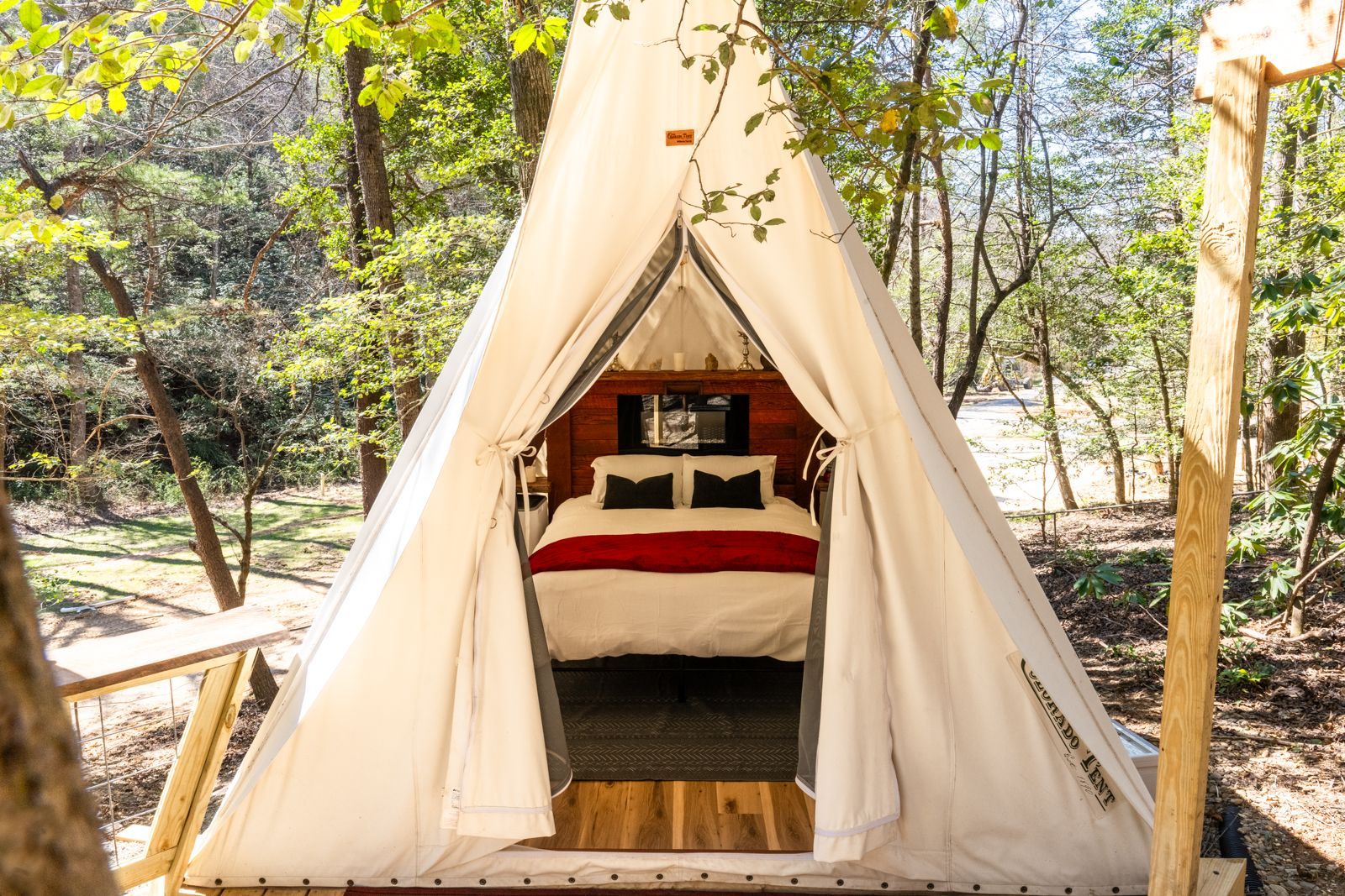
Wunderland Resort sits on 35 acres at 448 Curtis Creek Road in Old Fort, at the base of the escarpment the Parkway runs along. Lodging runs from forest villas to glamping pods to vehicle and tent camp sites, with a natural water cold plunge, a sauna, fire pits and direct access into Pisgah National Forest.
Staying low and driving up has a practical advantage during recovery. When a Parkway section closes on short notice, a valley base still has Catawba Falls, Point Lookout, Curtis Creek and the Old Fort trail system within fifteen minutes. A mountaintop rental has a closed gate.
Check availability · See accommodations · Contact the concierge
Keep reading
- Fall Color in Western North Carolina
- Things to Do in Old Fort, North Carolina
- Mountain Biking in Old Fort
Sources
- Road status and closures, Blue Ridge Parkway, National Park Service
- Reopening work between Mount Mitchell and Little Switzerland, National Park Service
- Folk Art Center, milepost 382, National Park Service
- Blue Ridge Parkway Visitor Center, milepost 384, National Park Service
- Parkway maps, National Park Service
- Mount Mitchell State Park, North Carolina State Parks
- Catawba Falls Recreation Area, USDA Forest Service
- Lake James State Park, North Carolina State Parks